
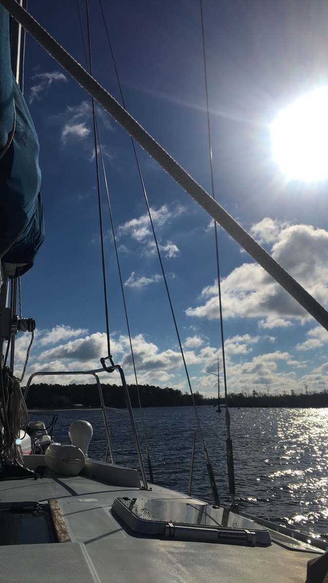
For people heading south, Norfolk marks the beginning of the Intracoastal Waterway, which gives boaters the ability to stay “inside” in sheltered waters and avoid going “outside” into the Deep Blue. Deciding whether to go inside or outside is a tough call, especially for our boat.
On the one hand, going outside is faster – you can run off lots and lots of south if you can sail round the clock at 7 knots or so. But on the outside you have to watch the weather, because the sea can turn big and bad real fast, and when the waves come at you from the side (“abeam” as we say when we’re salty) it makes you feel like you’re in one of those paint shakers at the Sherwin Williams store. Currents are also more of an issue outside, and there are some areas, especially off the coast of North Carolina at Hatteras, where the water gets shoally and shallow in spots miles offshore. The last thing you want is for a cold, heavy sea to kick up with a wind out of the east driving you onto the shoal in the middle of the night miles from help.
So we decided to go inside, but there are concerns on the inside, too. The fixed bridge limiting height on the ICW is 65′ at Mean High Water, or the average high tide. Our mast height is about 63 1/2 feet, plus the height of some wind instruments and our VHF antenna. Those inches take on huge meaning as you’re nosing up to a bridge with a wind behind you. And while the ICW is dredged by the Army Corps of Engineers, bless ’em, they can’t get to everywhere all the time when Mother Nature is constantly working to fill the ICW back in. Perseverance draws just shy of 6′.

We headed in at Norfolk just as a series of cold fronts started to head through. With the winds blowing pretty hard we decided to wait a few hours for them to abate a little before getting off of the little dock, but the tide was building and we had our first 65′ foot bridge a few miles down the ditch, and at noon we decided we had to get going.
Leaving the dock was a terrific little rodeo, with little room to turn round in the narrow little harbor and the wind blowing dead behind us, swing the stern out or in, and man, Perseverance is a lot bigger than we are. The tide had come above the dock boards making them slippery, and both Steph and Mimi went right down once, soaked to the waist.
But we worked it out and off we went and once out and moving with the breeze the wind seemed to melt away some, and while it was cool and looked to start raining, it was good to be on our way.
We had to wait a few minutes at the Gilmerton Lift Bridge. It never ceases to amaze that so many of the bridges just open for us when we ask. The bridge operators are a good bunch, weighing the needs of boaters and commercial traffic and motorists. The lady running Gilmerton that morning was professional and polite, and was able to open the bridge for us within a quarter of an hour.
Just below the Gilmerton was our first 65, the bridge for Interstate 64, and as we edged up to it we started getting pretty nervous. A group of Coasties came by in a RIB and confirmed that we’d managed to get there just at high tide. We looked OK, from their view, “But don’t take my word for it if you’re concerned,” their skipper said, before giving a cheerful wave and a “Good Luck!”

We held back and waited for the tide to go down, turning circles between the Gilmerton Bidge and the I64 for about two hours, checking the tide table. We all took turns steering in the drizzle, and coming down below for hot chocolate and coffee and snacks and schoolwork.
At 4:30 we took our shot, edged up slowwwly, slowwwwwwly…
And when right under without a hitch. We were hooping it up like maniacs. Throttle up and get down to the Federal Lock 5 miles down, and through, and tied up for the night at Great Bridge, VA. A few miles closer.
