

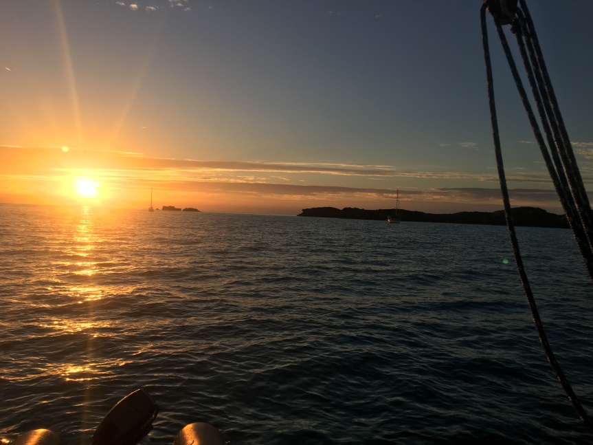
We sailed southeast down the bank for the rest of the day after making the cut, and anchored for the night just north of Little Sale Cay. The anchorage gave us good protection from the south wind, and good holding in sand in 8 feet of water. It was like anchoring in a big swimming pool. The water here is amazing.
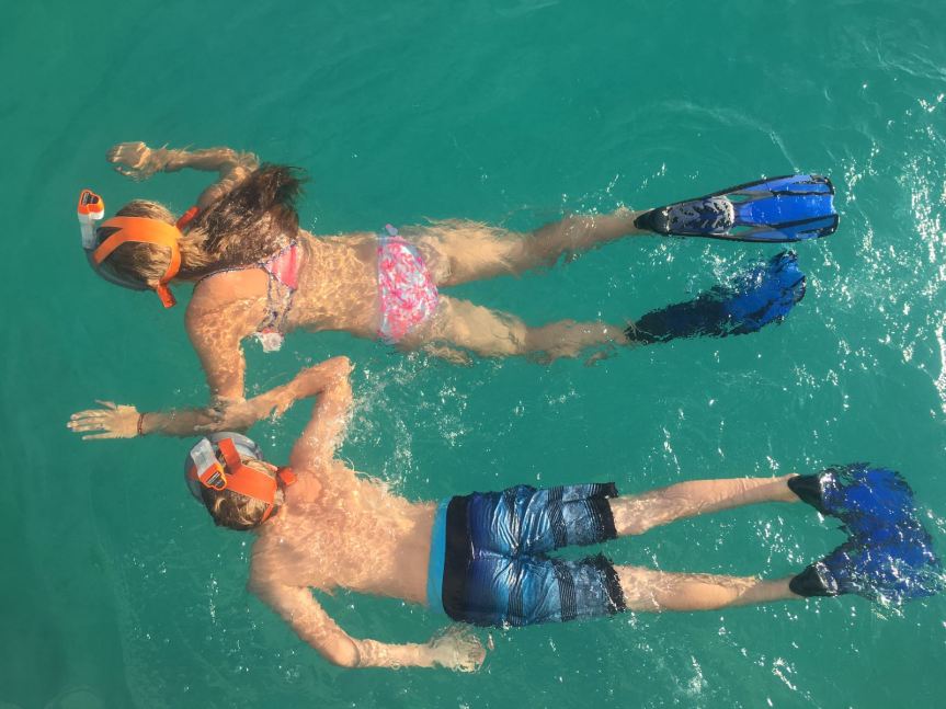
The kids couldn’t resist snorkeling a little in the morning, so we didn’t haul up the anchor until 9am, but we made good time for our first destination and check-in for the Bahamas at Green Turtle Cay, on the southeast line of islands that front on the Atlantic and protect the Sea of Abaco and Abaco Island itself.
The Explorer Charts are super – the waypoints and depths are all terrifically accurate. We sailed and motored our way along until we got to Green Turtle.
Green Turtle has an anchorage on the southwest side of the island, but in the prevailing southwest we were running all day it gave no protection at all. There are two bays, and we chose the one to the north, called White Sound.
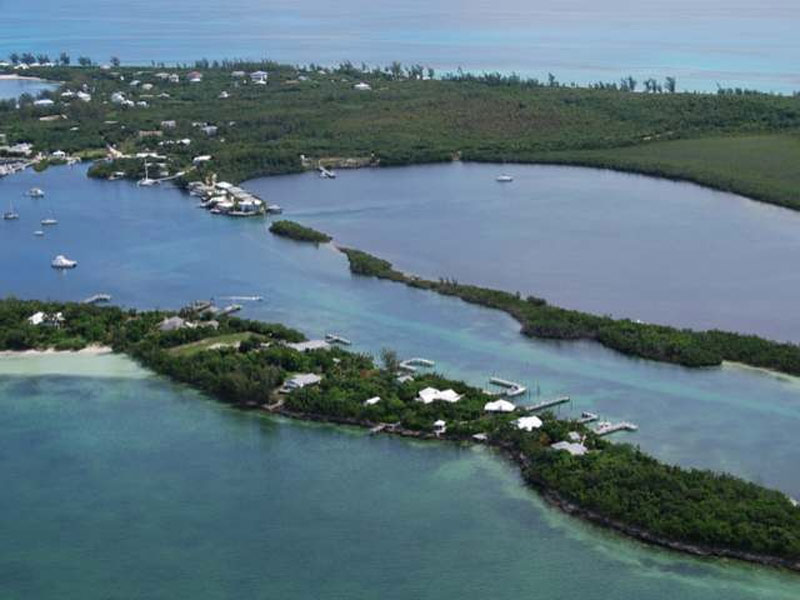
Here’s an aerial photo of White Sound Harbor. You can see the line of light green that denotes the channel. Getting in was a little dicey as we came in at close to low tide and we had only a half foot under our keel in a couple of places, crawling along as slowly as possible. The bay was a little better, but still showed depths that gave us less than a foot. A blow was forecast to start in the next day or two, so we picked up a mooring ball.
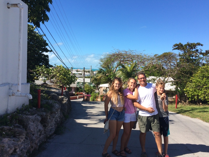
Next morning, Chris took the passports over to New Plymouth and checked everybody in. New Plymouth was settled by Loyalists who left the US at the time of the Revolutionary War. It’s charming and very small. A couple of small grocery stores and a couple of small hardware stores vie with the small marine service businesses to form the small economy of the island.
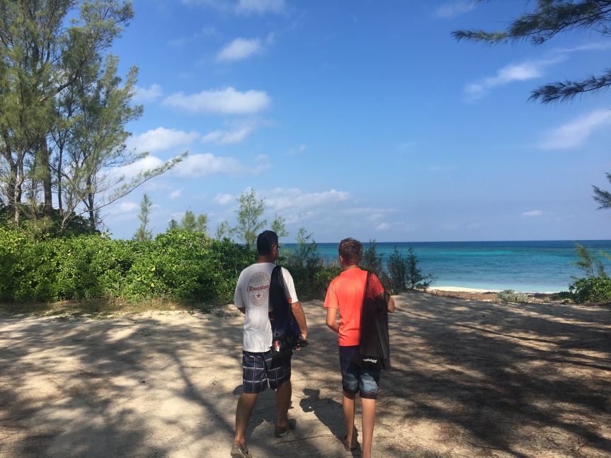
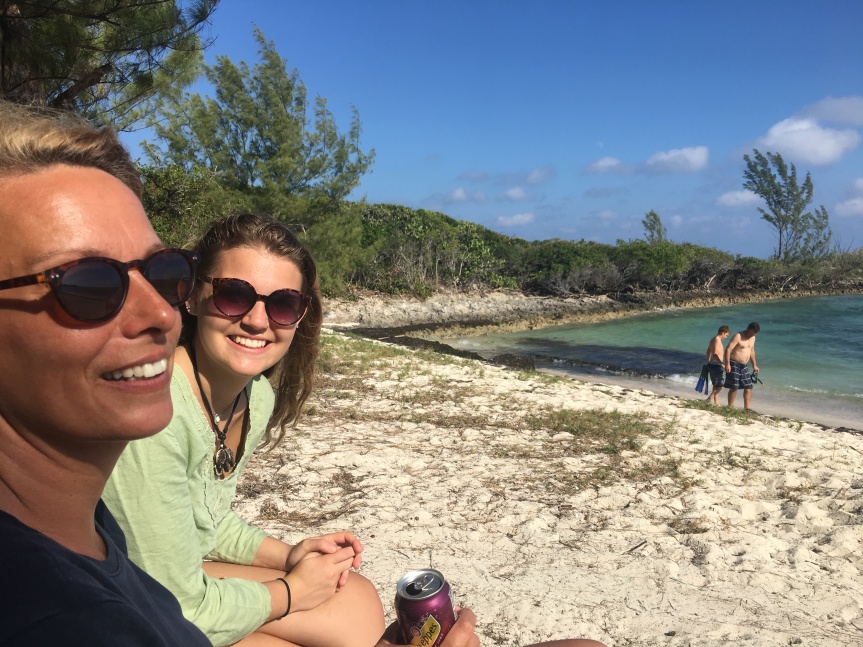
We poked around New Plymouth a couple of times, but mostly we explored the beaches. Lots of coconuts to eat and fish to see.
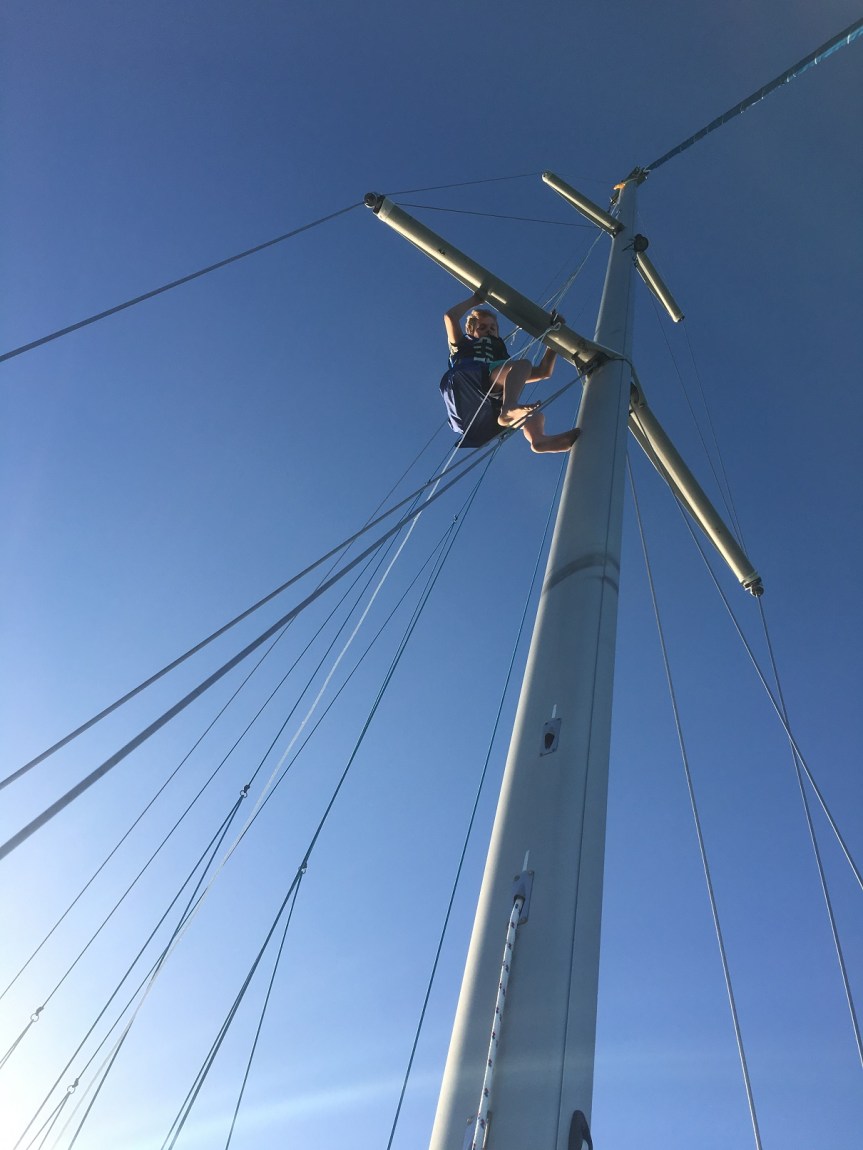
Caught up on some schoolwork, too. Schuyler found something else he enjoys doing – sitting in the bosun’s chair 65 feet off the deck. He went up to retrieve a spare halyard that had skied, and to rig the block on our spreader.
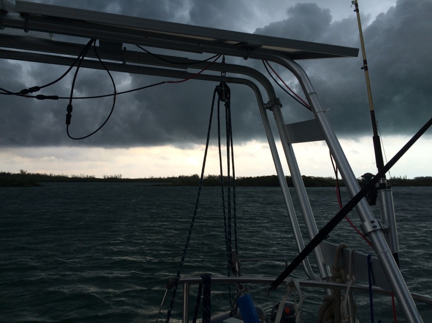
The forecast blow settled in the night after we arrived, with a great squall line pounding down rain on us (“Oooooh – I’m gonna rinse the salt out of my hair!”), and then the winds clocking round to the north, shrieking through the rigging for a couple of nights. Then it settled in to a pretty consistent north for the next 10 days.
Which pretty much closed off our chances of going south for a while. There’s a pass between here and Marsh Harbor called Whale Cay Cut, and in the wrong weather there are breakers right in the channel. No thanks! Time to see another island or two along the Abaco Sea.
