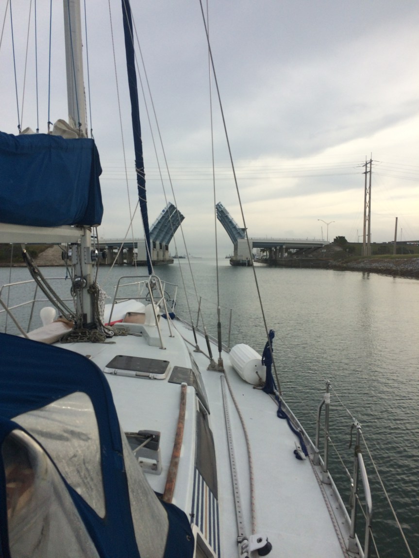
We headed out of St Augustine on the afternoon tide on New Years Eve, bound down for Ft. Pierce, and things started off perfectly. Good wind, good seas…
Long around 0400, just off the shoals at Cape Canaveral, our engine conked out, just like that. We had almost no wind, and the current was taking us away from the shoals, mercifully, but there was no getting around the fact that we just weren’t getting around. Happy New Year!
At around 9AM we tried to hail a tow, but we were so far off that nobody was reading us. After a few attempts over the course of an hour, a Coast Guard officer (may the Lord bless and keep every one of those heroic souls) hailed us back and relayed messages until we were able to arrange a tow. We got into Port Canaveral a few hours later.
The next morning we were able to run down the problem to a fuel consumption issue (read: Dad ran us out of gas), so after some decent showers and filling the boat with diesel and ourselves with dinner, and Dad recalculating some fuel consumption curves, we headed over to the Banana River to anchor for the night.
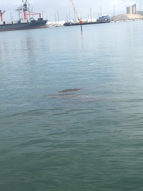
We saw our first manatees in Canaveral, so I guess the whole thing was fated to be. They’re under the water right here:
Next day, we headed back out and started down. We had been pushing a little because there was a decent weather window developing and we didn’t want to miss it.
Crossing the Gulf Stream at the Straights of Florida is like counting cards at blackjack. You prepare and you’re careful and sometimes you can’t help but win, but every once in a while things all go to hell. The current rockets northward at 3 1/2 knots, and if there is any sort of north wind – which is pretty typical for the Winter months – wind and current combine to create steep, choppy waves of high frequency, meaning that they’ll kick the living crap out of you.
The best conditions are gentle south winds for a day or two with a west component, and this is precisely what we’d seen developing back in St Augustine. When we left Canaveral there was still a bit of a swell behind us, but by late afternoon, about 10 miles or so above Ft Pierce, the sea had almost flattened out and we were seeing a pronounced southwest wind. We couldn’t be sure what it would be like out in the middle of the stream, but things looked awfully good. We sat down and had a crew meeting and laid out the sitch, weighed how long the night would be and the possibility of things going bad against what seemed like the right moment. We all decided to head across. We had a little bit of cell service, so we called our friend, Alex, who’s crossed the stream many, many times. He checked the weather and gave us the thumbs up, so off we went.
We set our course slightly east of south to parallel the coast and edge out gradually, hoping to head across around St Lucie inlet, and set one hour steering watches, with three in the cockpit at any time and two below. At about 11PM, still above St Lucie, Chris rechecked the position and found that we were starting to head too far east, and that our speed over ground had slowed to about a half a knot. He pops head over blanket and eyes daughter, steering.
“Annika! What’s your heading right now?”
“150.”
“No way!”
“Dad, it’s 150. Really.”
Chris confirms that the compass does indeed read 150. Rechecks position. 21 16.47N 79 54.44W. Holee Cow. We’re only 10 miles off shore – the land is like, you know, right there. And the stream is already starting to push us backwards.
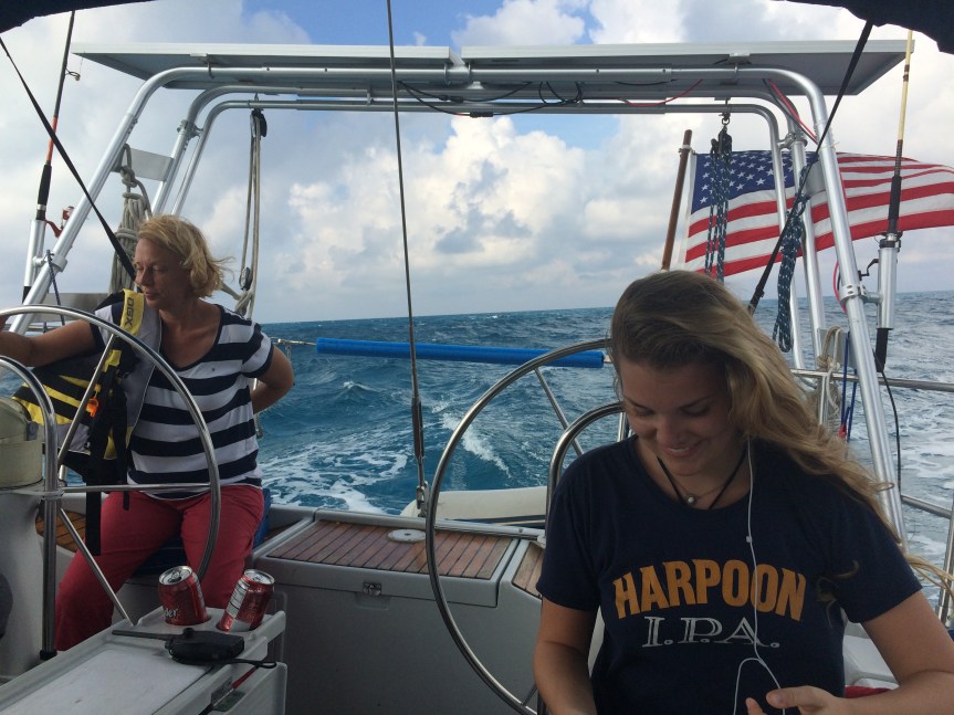
We probably should have just started across right there, but we didn’t know how far the stream would push us north, so Chris took a watch and headed us back in until the stream let us go, and then headed south again, closer to shore. At about three o’clock we were between St Lucie and Jupiter, and figured it was time. Steph altered course to 120, crabbing downward into the stream, which gave us a course over ground of around 90 degrees true, making for a spot on the Little Bahama Bank some 40 nautical miles away. Annika and Mimi took watches until 7am while Chris pretended to sleep and instead worried about everything that might go wrong.
Nothing did.
The waves were fairly gentle out of the south all the way across. A beamy motion, but not unbearable. The engine ran well. Breeze was fair on our stern. As the sun came up we were 10 miles from the bank and the cut where we wanted to cross into the Bahamas.
The FLorida Straight is pretty deep, and our depth meter had stopped functioning even before we started across. We were in around 300 fathoms as we approached the bank and then suddenly – very suddenly – the meter began registering first a hundred feet, then 60, then 36, all within the space of two minutes. Chris sweated and rechecked the position over and over – there was no land in sight at all, and the cut we were aiming for wasn’t more than a couple of hundred yards wide with shoals on either side and a long, long way from any help.
We edged up, and up, and through. The depth stayed at around 30 feet.
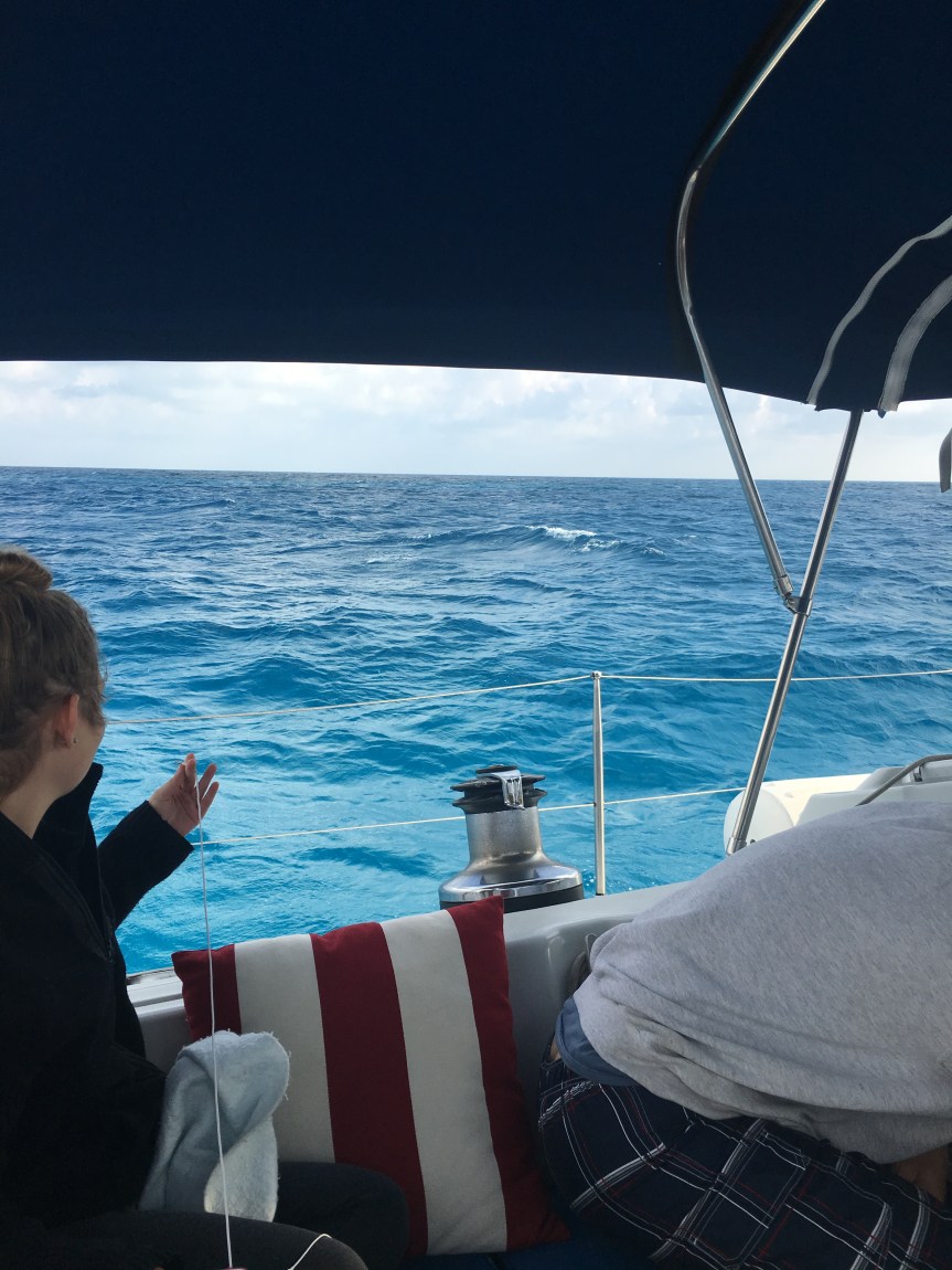
But the color of the water changed to this bright, almost iridescent blue. In the early morning light and the fresh breeze with the sunbeams stabbing down through the clouds it was one of the most amazing things any of us had ever seen.